Etna and flights
Catania airport, flights across Sicily and Etna: official notices and flight data, with the time we read them.
0 diverted · 0 cancelled · 11 delayed · updated at 11:50 AMAsh in the airCode rederuption feeble ash emission ongoing · VONA Oct 30, 09:30 AMQuakes, last 24 hours2 · strongest M1.2INGV · read at 11:53 am
Latest airport noticeNo notices
The last 14 days
For each day: how many ash advisories the VAAC issued and what the airport announced. A day without notices is a quiet day.
ash advisories VAAC · ■ closure announced by the airport · ■ ash in the air
Today’s flights
Trapani · updated at 11:10 AM
06:00FR 8038 · Ryanairto Milan (MXP)departeddeparted at 06:00
- Scheduled
- 06:00
- Estimated
- —
- Terminal and gate
- not assigned yet
- Aircraft
- Boeing 737-800
07:10FR 7005 · Ryanairfrom Luqa (MLA)expected
- Scheduled
- 07:10
- Estimated
- —
- Baggage belt
- not assigned yet
- Aircraft
- Boeing 737
07:20FR 4873 · Ryanairfrom Pisa (PSA)
- Scheduled
- 07:20
- Estimated
- —
- Baggage belt
- not assigned yet
- Aircraft
- Boeing 737-800
07:35FR 7006 · Ryanairto Luqa (MLA)departeddeparted at 07:35
- Scheduled
- 07:35
- Estimated
- —
- Terminal and gate
- not assigned yet
- Aircraft
- Boeing 737
07:40DX 1832 · Danish Airfrom Pantelleria (PNL)
- Scheduled
- 07:40
- Estimated
- —
- Baggage belt
- not assigned yet
- Aircraft
- ATR 72
07:45FR 4874 · Ryanairto Pisa (PSA)
- Scheduled
- 07:45
- Estimated
- —
- Terminal and gate
- not assigned yet
- Aircraft
- Boeing 737-800
07:55FR 4650 · Ryanairfrom Bergamo (BGY)
- Scheduled
- 07:55
- Estimated
- —
- Baggage belt
- not assigned yet
- Aircraft
- Boeing 737
08:10DX 1831 · Danish Airto Pantelleria (PNL)
- Scheduled
- 08:10
- Estimated
- —
- Terminal and gate
- not assigned yet
- Aircraft
- ATR 72
08:25FR 4651 · Ryanairto Bergamo (BGY)
- Scheduled
- 08:25
- Estimated
- —
- Terminal and gate
- not assigned yet
- Aircraft
- Boeing 737
10:00FR 8037 · Ryanairfrom Milan (MXP)expected
- Scheduled
- 10:00
- Estimated
- —
- Baggage belt
- not assigned yet
- Aircraft
- Boeing 737-800
10:25FR 7188 · Ryanairto Verona (VRN)
- Scheduled
- 10:25
- Estimated
- —
- Terminal and gate
- not assigned yet
- Aircraft
- Boeing 737-800
12:30FR 2009 · Ryanairfrom Bologna (BLQ)lands in 37 min
The in-flight position appears once the aircraft is within about 450 km of Catania; until then the board only shows the time.
- Scheduled
- 12:30
- Estimated
- —
- Baggage belt
- not assigned yet
- Aircraft
- Boeing 737-800
12:55FR 2010 · Ryanairto Bologna (BLQ)departs in 62 min
- Scheduled
- 12:55
- Estimated
- —
- Terminal and gate
- not assigned yet
- Aircraft
- Boeing 737-800
14:20FR 7189 · Ryanairfrom Verona (VRN)
- Scheduled
- 14:20
- Estimated
- —
- Baggage belt
- not assigned yet
- Aircraft
- Boeing 737-800
15:10FR 8916 · Ryanairto Rome (FCO)expected
- Scheduled
- 15:10
- Estimated
- —
- Terminal and gate
- not assigned yet
- Aircraft
- Boeing 737-800
16:50FR 1855 · Ryanairfrom Venice (VCE)
- Scheduled
- 16:50
- Estimated
- —
- Baggage belt
- not assigned yet
- Aircraft
- Boeing 737
No flights in this window.
No flights in this window.
No flights in this window.
Flights read up to 17:10: later ones appear with the next reading.
No flights match this search at Trapani.
Local times. Sources: AeroDataBox and, for Catania, the SAC board.
Trapani traffic, last 7 days
For Trapani AeroDataBox only gives scheduled times, so delays are not shown here.
All scheduled arrivals and departures, read from AeroDataBox (Catania and Palermo every half hour, the other airports every one or two hours). For each day: how many there were, how many cancelled, diverted, delayed.
Etna
Where the ash cloud is
Every six hours the Toulouse VAAC (Météo-France) draws where it sees the ash from satellite and where it forecasts it. The coloured areas are the cloud aloft: they do not say where ash will fall on the ground. · VAAC ↗
from the ground up to about 4.0 km · moving south-east at 10 knots · Oct 30, 07:00 AM
VONA: INGV speaks to pilots
A VONA (Volcano Observatory Notice for Aviation) is the message the Etna Observatory sends to pilots and controllers when Etna changes behaviour. It has four colours: the scale the VAAC and the airport then use to decide.
Latest VONA
Eruption under way or imminent with significant ash emission into the atmosphere.
Recent VONAs
The colour scale
- green — Volcano quiet or at background level: no concern for aviation.
- yellow — Signs of unrest above the background level, with no eruption.
- orange — Heightened unrest, or an eruption with little or no ash. The volcano is being watched closely.
- red — Eruption under way or imminent with significant ash emission into the atmosphere.
Earthquakes in the last seven days
Every quake of magnitude 1 or more within 40 km of the craters, from the INGV catalogue. On Etna some shaking is normal; below magnitude 2 it usually goes unfelt. What matters is a sudden increase, and for that there are the Observatory bulletins.
The Etna map, today
The last seven days of quakes, the hot spots seen from satellite and the stations listening to the mountain, on one map. Tap a point to know what it is.
Satellite hot spots are not yet switched on for this map: they come with the NASA FIRMS key.
Quakes and stations: INGV (FDSN). Hot spots: NASA FIRMS, VIIRS and MODIS, radiative power in megawatts. Satellite background: MapTiler.
Etna right now, from the cameras
Pictures tell you the situation before any notice does: whether there is an ash column, which way the wind carries it, whether the craters are under cloud. These are the public cameras of INGV and of the Etna facilities. INGV frames show UTC time: Rome is one hour ahead, two in summer time.
INGV live
Etna’s TV channel (EtnaTVChn), INGV Osservatorio Etneo · INGV ↗
INGV video-surveillance stations
Latest frame from each station. Tap a picture to open it full size; reload the page for the most recent one.

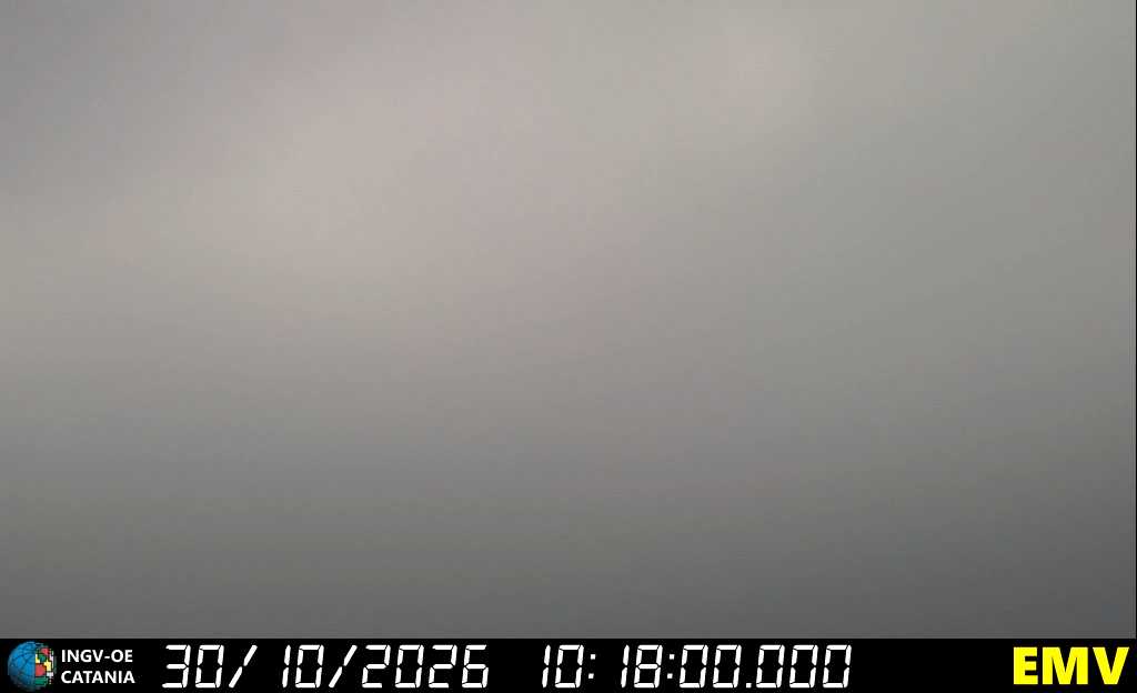
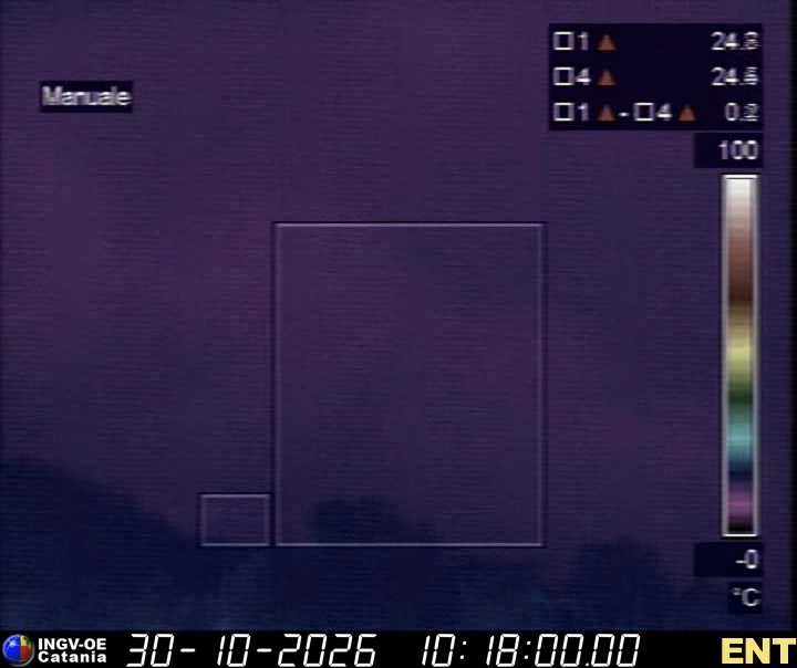
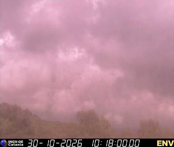

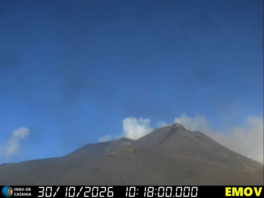
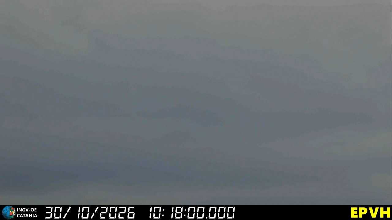
Pictures and live stream: INGV Osservatorio Etneo, volcanic video surveillance, CC BY 4.0 licence · INGV ↗
Other public cameras
Live streams from those who work on the mountain. They open on their own sites.
Alert me about my flight
Free: take-off, delay, gate change, landing with the baggage belt, cancellation, diversion.
If your flight is cancelled or diverted
Other airports and transfers
Palermo and Comiso almost always stay open (ash goes where the wind takes it, and Comiso is to the south). From there you reach your destination by car with a licensed operator: these are the routes, who drives them and for how much. Reggio Calabria is across the Strait: from the airport you cross from Villa San Giovanni by ferry to Messina, and the times shown allow for it.
The status of each flight (cancelled, diverted, delayed) comes only from the airport board: open it here, then confirm with the airline. A diverted flight usually lands at Palermo, Comiso or, in Calabria, at Reggio Calabria or Lamezia Terme and the airline arranges a bus; ask before setting off on your own.
Shared shuttles
No runs published right now.
On ash days operators put vans on the road from Palermo and Comiso, with seats sold one by one at an affordable price. Published runs, with time and free seats, are on the shuttles page.
Your rights (EU 261/2004)
- With a cancelled flight you choose: a refund of the ticket or re-routing on the first available flight, even with another airline, even to another Sicilian airport.
- While you wait, the airline must give you meals, drinks and, if needed, a hotel with transport, in proportion to the wait.
- An eruption is an extraordinary circumstance: cash compensation (€250–600) usually does not apply. Refund and assistance always do.
- Keep receipts and boarding passes; ask the airline in writing, not only at the desk.
Airline, credit cards, insurance, packages: what you are owed, how to claim, what to expect